
Natural History of Romney Marsh

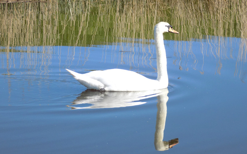
Mute Swan on the Royal Military Canal
Sites of Special Scientific Interest
A Site of Special Scientific Interest (SSSI) is a conservation designation denoting a protected area in the United Kingdom. SSSIs are the basic building block of site-based nature conservation legislation and most other legal nature/geological conservation designations in Great Britain are based upon them, including national nature reserves, Ramsar sites, Special Protection Areas, and Special Areas of Conservation. An SSSI may be made on any area of land which is considered to be of special interest by virtue of its fauna, flora, and geological or physiographical/geomorphological features.
Romney Marsh, especially Dungeness, is a nationally important site because of a diverse range of biological and geological features, specifically the coastal geomorphology of Dungeness and the following nationally important habitats: saltmarsh, sand dunes, vegetated shingle, saline lagoons, standing waters, lowland ditch systems, and basin fens. These habitats and others within the site support the following nationally important species interests:
- populations of four vascular plant species listed in Schedule 8 of the Wildlife and Countryside Act 1981 (as amended):
- an assemblage of Schedule 8, nationally rare and nationally scarce vascular plants;
- populations of the vulnerable Warne’s thread-moss Bryum warneum;
- populations of water voles Arvicola terrestris;
- an assemblage of breeding birds associated with shingle beaches and saltmarsh, lowland damp grasslands, lowland open waters and their margins, and scrub;
- breeding numbers of 16 species of bird;
- assemblage of over 20,000 waterfowl in the non-breeding season;
- wintering numbers of 17 species of bird and three species during passage periods;
- metapopulations of great crested newts Triturus cristatus;
- endemic species and subspecies of invertebrates;
- populations of two invertebrate species listed in Schedule 5 of the Wildlife and Countryside Act 1981 (as amended);
- populations of ten endangered, vulnerable and rare invertebrate species;
- assemblages of invertebrates occurring on ‘dry’ coastal habitats, and
- assemblages of wetland invertebrates
SSSI sites on Romney Marsh
 Dungeness Nature Reserve
Greatstone Sand Dunes
RSPB Reserve
Watercourses for information on Sewers, Dykes and Ditches
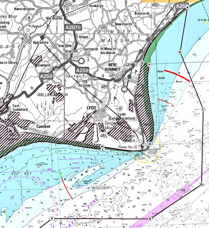
Areas of Dungeness, Romney Marsh and Rye Bay are designated a Special Protection Area and Ramsar site (see map) because their important for supporting:
breeding and wintering waterbirds
birds of prey
passage warblers
breeding seabirds
It’s also selected for the site’s complex network of wetland types and habitats that support rich and diverse groups of:
bryophytes eg mosses, liverworts, and hornworts
vascular plants eg water conducting plants
invertebrates
vulnerable, endangered and critically endangered wetland species
In October 2016 Natural England proposed extensions to the boundary of the existing Dungeness, Romney Marsh and Rye Bay SPA. These include
Romney Sands – an alongshore extension of the northernmost existing site boundary to include the stretch of coastline past St. Mary’s Bay and Dymchurch up to West Hythe. The landward boundary of the extension follows the mean high water (MHW) mark which includes intertidal habitats as well as subtidal habitats out to the seaward limit. The seaward limit of the boundary moves further offshore (heading south-west) merging into the furthest seaward boundary.
Dungeness Point to Galloways lookout – an alongshore extension to encompass the stretchof foreshore around Dungeness Point to join-up the two existing coastal SPA sections (Littlestone-on-Sea to Dungeness Point and Camber Sands to Broomhill Sands i.e. Galloways Lookout). The landward boundary of the extension follows MHW including intertidal habitats as well as subtidal habitats out to the seaward limit.
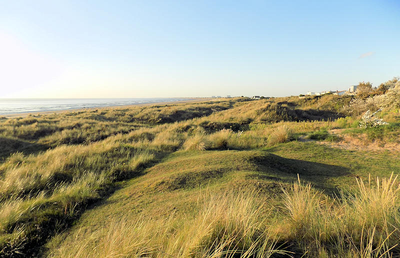
Greatstone Sand Dunes

