Miscellany
NB Please note that these pages are not kept up to date so please check first if you plan to act on any information contained in these pages.

The name Romney is derived from Old English 'at the spacious, or wide, river' recorded in 895 as Rumenea, and in 914 as Rumenesea.
This appears to have been an early name for Romney Marsh, whose inhabitants are referred to in 774 as Merscuuare and in 796 as Merscware (Old English merscware: marsh people). Their territory is described in 811 as regio Merscuuariorum (region of the Marsh People); and earlier, in 697, there appears here the name Ruminingseta: 'fold of the dwellers by the spacious river' and Rumeneia
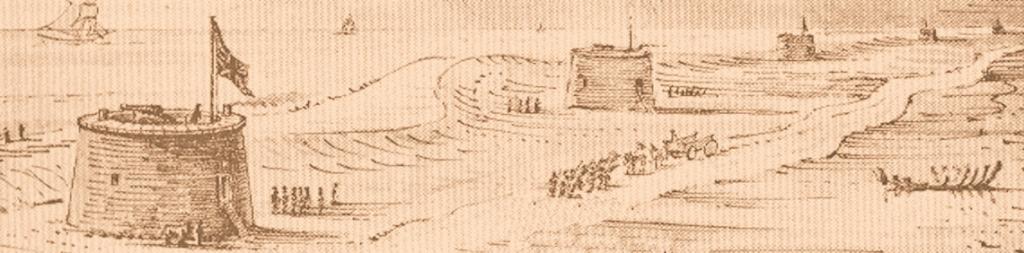
Rumeneia was the name of the river we know as the Rother, which used to flow into sea at New Romney but now flows out through Rye. It would appear that this river had different names in different parts of it, which is not unusual and happens elsewhere in the country.
Near the source or spring head, it was likely called the Rother. Lower down and along the branch that flowed out to the sea at the Roman port Portus Lemanis near the Roman fort at Stutfall, the Limen, and the Rumeneia near New Romney. Hence the name Romney.
The present place names appear as Rumney, Old Rumney in1575, and as Romney, Old Romney in 1610.
Romney Marsh was known by the English Saxons first as Merscwarum and then, in c795, as Merscware. It is not certain when it first became known as Rommene, or Romney. There was mention of this name in 895 related to land owned by the Archbishop of Canterbury near the river called Rumeneia
'Romney Marsh' means different geographic areas to different people, and different geographic areas depending on the context in which 'Romney Marsh' is used.
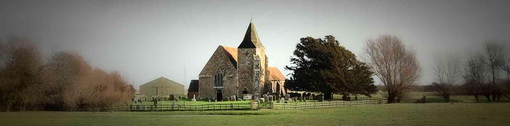
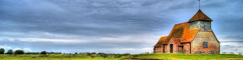
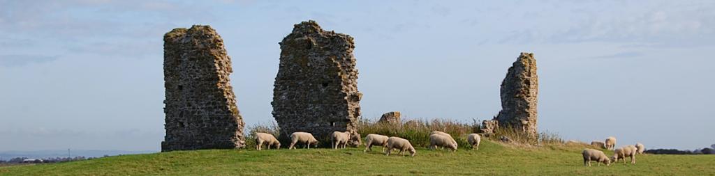
- The name "Romney Marsh" is often used collectively for four marshes – Romney, Walland, East Guildford and Denge – occupying 100 square miles of England's south-easternmost corner.
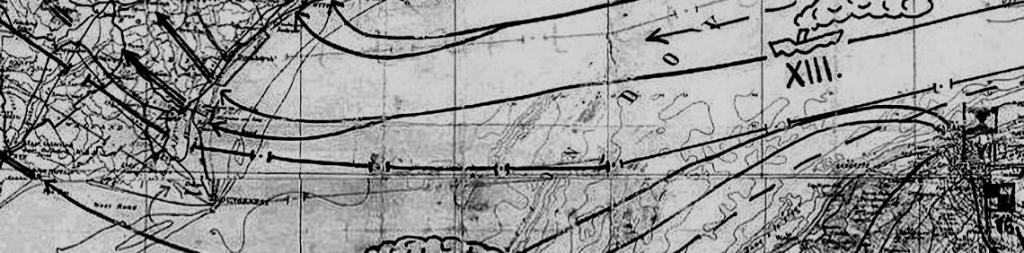
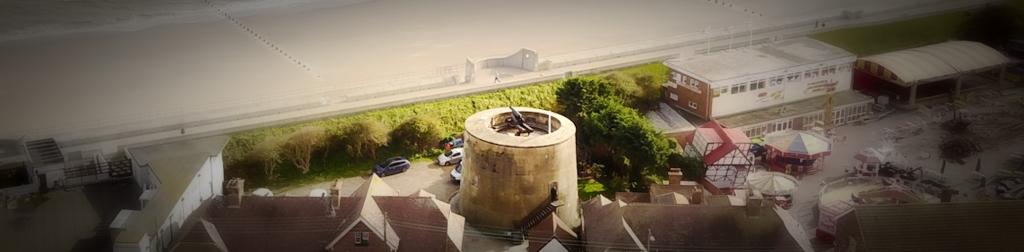
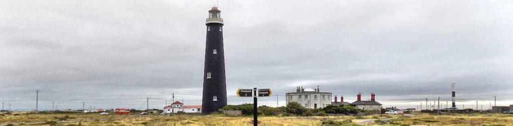
- The original Romney Marsh proper is the area lying north of a line between New Romney and Appledore ie north of the roads B2080 and the A259. See map.
- For the purpose of this website, Romney Marsh is taken to be the area bounded by Hythe to the north east, Hamstreet to the north, Appledore to the west, Rye to the south east, Camber to the south and the English Channel to the east. See map.
Romney is a small town in the United States of America, some 120 miles west of Washington in the state of West
Virginia and is named after New Romney on Romney Marsh. As at 2010, its population was about 1,900.
Originally settled in 1725 by hunters and traders, Romney was known as Pearsall's Flats and was the site of the French and Indian War stockade, Fort Pearsall. It is one of the oldest towns in West Virginia.
It was named for the Cinque Ports town of Romney, Kent, England, by Thomas Fairfax, 6th Lord Fairfax of Cameron, the town still bears place names and symbols from its colonial past such as its Marsham Street, named for Robert Marsham, 2nd Baron Romney.
![]() Reference and more information
Reference and more information

