

Greatstone History: 1948 Map of Greatstone
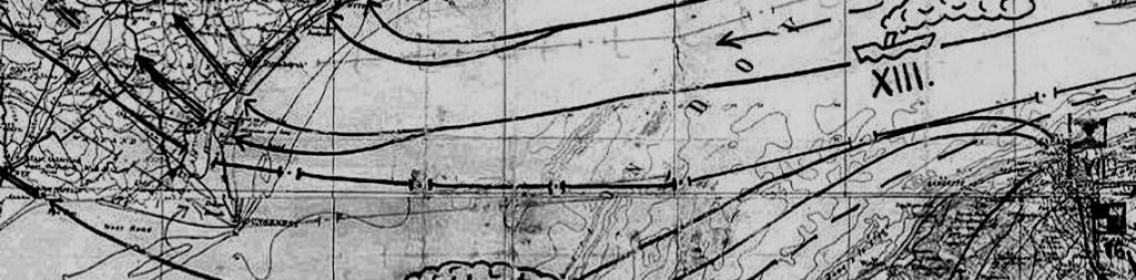
By 1948 most of the roads that comprise Greatstone today were in existence, albeit with many less properties than today. In the map of 1948 below, the old Greatstone Golf Links were still identifiable and there was only limited development of Dunes Road and the roads north and south of it.
The map shows the old Greatstone Dunes Station on the Romney Sands on the RH& D Railway and the old Greatstone-on-Sea Station on Southern Region railway (just come into being in 1948 as part of the nationalisation of Britain's railways) and The Jolly Fisherman pub.
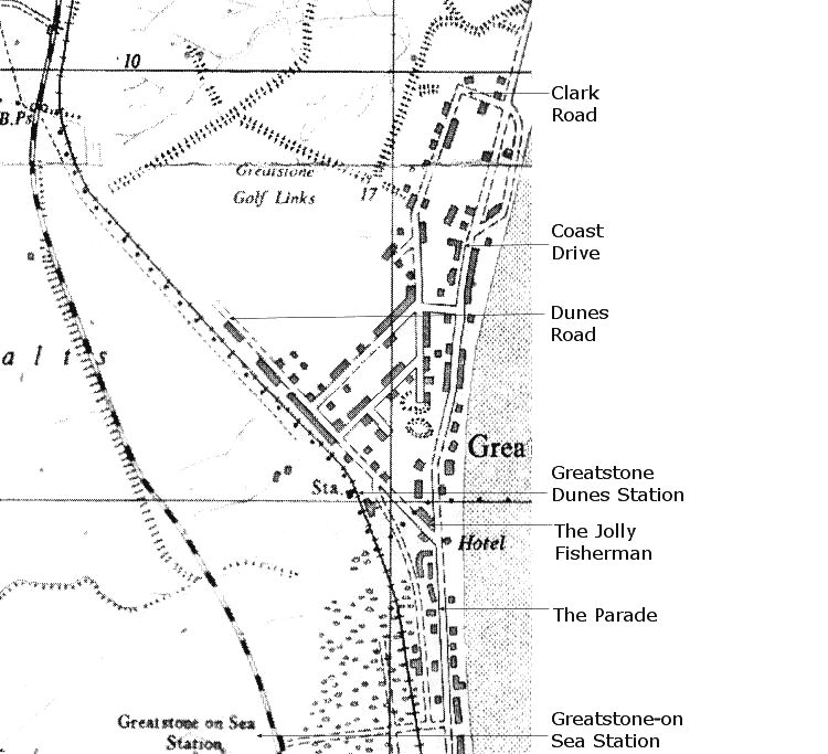
Map of Greatstone in 1948 (Ack.16)


