
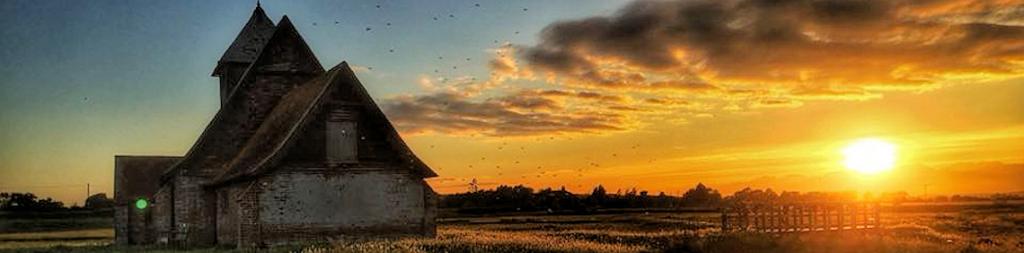
Ancient Monuments

Medieval Farmstead at Pilchers 340m North East of Codhall, Brenzett ![]() Location Map
Location Map
An abandoned medieval farmstead and an area of associated fields, or closes. It is situated near the northwestern edge of Romney Marsh on low-lying, artificially drained land around 1.3km northeast of Snargate. The farmstead lies within the southeastern corner of the monument and survives as an area of raised, uneven ground containing buried building foundations and associated below-ground remain. Pottery fragments and building debris found here during field investigation have been dated to the 14th century. The associated closes cover the remainder of the monument in an irregular grid pattern and take the form of at least six small rectangular fields enclosed by ditches which are now dry. Two local maps dating to 1653 and 1721 depict the farmstead buildings, and later cartographic sources indicate that the farmstead had become abandoned and was demolished by the mid-18th century. The monument is recorded as Old House Field in the Tithe Award of 1840.
Royal Military Canal Gigger's Green Bridge to Honeypot Cottage, Burmarsh. Find out more on our Royal Military Canal page. ![]() Location Map
Location Map
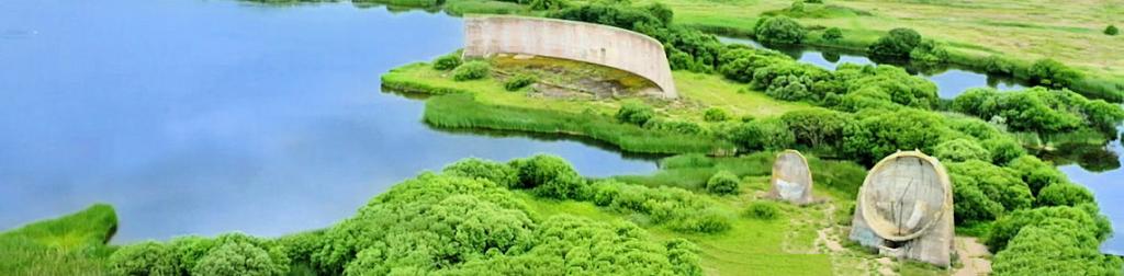
Second World War Concrete Pillbox no specification. On Royal Military Canal, South of Aldington nr Burmarsh.
Royal Military Canal Honeypot Cottage to West Hythe Dam, Burmarsh. Find out more on our Royal Military Canal page. ![]() Location Map
Location Map
Second World War Underground Operational Post 1/3 mile (540m) SW of Chapel Farm, Burmarsh. ![]() Location Map
Location Map
Second World War Auxiliary Hide. Small underground building concealed by a dyke. Entered from two shafts, one at either end with brick walls and a concrete floor. Intended as a secret base for Auxiliary Units after an invasion. Find out more on our Auxiliary Units page.
Moat and Associated Closes at Marshall's Bridge, Dymchurch ![]() Location Map
Location Map
Medieval Moat and Associated Small Fields. The moat is roughly square, aligned north-south and measures approximately 50m by 55m. The moat is now mainly dry and measures up to 12m wide and 1m deep. The northern arm of the moat is part of the main drainage channel called the Marshland Sewer. Fragments of roof tiles and masonry have been found on the eastern side of the island indicating the presence of a building. A roughly circular hollow on the west side of the island may represent a pond. To the west and south of the moat are associated closes these are small fields formed by now dry ditches.
Moated Site and Associated Fields 460m North East of Pickney Bush Farm, Newchurch ![]() Location Map
Location Map
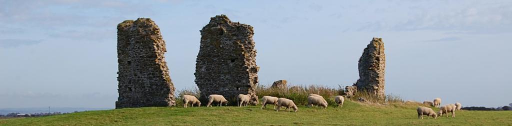
An abandoned medieval moated residence and an area of associated small fields, or closes. It is situated towards the centre of Romney Marsh on low-lying, artificially drained land around 2km southeast of Newchurch. The moated residence lies within the northwestern part of the monument and survives in the form of earthworks, below-ground building foundations and associated buried remains. The north-south aligned, roughly rectangular moated island measures 125 metres by 45 metres and is surrounded by ditches up to 15 metres wide and 1 metre deep. Projecting from the moat onto the island are three narrow ponds which have been interpreted as fishponds. The associated closes cover the remainder of the monument in an irregular grid pattern and take the form of at least 14 small rectangular fields enclosed by ditches which are now mostly dry. Mathew Poker's map of Romney and Walland Marshes, dating to 1617, depicts a dwelling on the moated island. Later cartographic sources indicate that the house had become abandoned and demolished by the mid-17th century.
Part of the Rhee Wall a Medieval Canal, at Snargate ![]() Location Map
Location Map
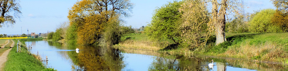
The Rhee Wall (Rhee is a word for river) was a waterway built in three stages from Appledore to New Romney in the 13th century as part of its drainage system. The monument includes the best surviving stretch of the medieval canal known as the Rhee Wall, situated along the interface between the lower lying ground of Walland Marsh to the southwest and Romney Marsh to the northeast. The canal originally ran for a total length of 7.5 miles between New Romney, then one of the Cinque Ports, and the inland town of Appledore. It was constructed during the mid-13th century to help flush out the rapidly silting harbour at Romney Creek by redirecting sea water towards the port from further up the River Rother estuary and to provide a shipping channel between the two settlements.
World War II Underground Operational Base 500yds (457m) SW of Bentley Cottage, Snargate ![]() Location Map
Location Map
Auxiliary Hide, built in World War Two. Small concealed underground building. Entered from two shafts, one at either end with brick walls and a concrete floor. Intended as a secret base for Auxiliary Units after an invasion. Find out more on our Auxiliary Units page.
 Historic Buildings
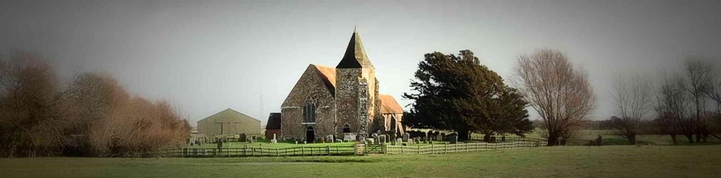
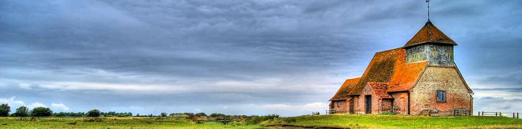
Historic Churches
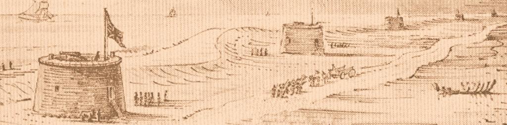
Invasion Coast
History Homepage
