


Deliberate Flooding of Romney Marsh
However, there have been at least two occasions when deliberate flooding of the Marsh has been considered.
The closeness of Romney Marsh to the continent, its flat shores and hinterland and easy accessible beaches, has meant that the Marsh has been in the front line whenever invasion has threatened, particularly from across the English Channel. See our Invasion Coast page
In past times, during times of war, the deliberate flooding of lands was accepted military strategy; by flooding certain areas on purpose, a military defensive line could be created. The flooding of Romney Marsh has been considered on at least two occasions for defensive purposes.
Wars with the French
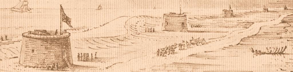
The first was during the Wars with the French from 1793 to 1825. The threat of invasion by the French caused the War Office to look at the deliberate flooding of Romney Marsh. This would have been achieved by opening the sluices at Dymchurch, Scots Float, East Guldeford and Pett Level, and by breaching the walls along the rivers Brede and Rother.
It would have taken three or four tides to complete the flooding. This meant that an enterprising enemy would be across the marsh and up the hills beyond before enough water could be let in to hinder anybody if flooding was delayed until he landed. Therefore the flooding would be useless unless it was completed before the enemy sailed.
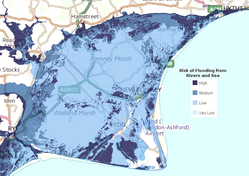
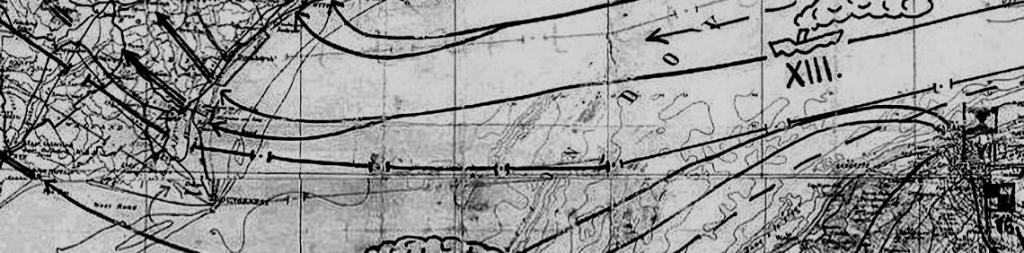
Flood Risk Map of Romney Marsh
But to flood the land before it was necessary would be a very serious matter. The Marsh's 28,000 acres of excellent pasture would be lost for the duration of the war and, in view of the damage salt water does to vegetation, the job of restoring the land after the peace would be a slow one.
The Government of the day had to consider three things in regard to flooding the Marsh. The first was the need to liaise with the local people. Secondly, if the Marsh with all its wide acreage of grazing land was to be destroyed by saltwater, very considerable compensation would have to be paid to the farmers. Thirdly, there would need to be at least forty-eight hours' advanced warning of when the French were coming. Find out more
On Thursday last Mr. Pitt, accompanied by Generals Twiss and Moore, met the Lords and Bailiffs of the Level of Romney Marsh Newhall near Dymchurch, to consider of the best mode of inundating the marsh, in case of invasion; appearance of the enemy on the coast, the sluices should be opened, when it was determined that, on the admit the sea so as to fill the dykes, which might be accomplished in one tide; and, in case of actual invasion, that the sluices should remain open for another tide, which would be sufficient to inundate the whole level. - The wall, of course, would not be injured, as the space of 24 hours will be fully sufficient for the intended effect.
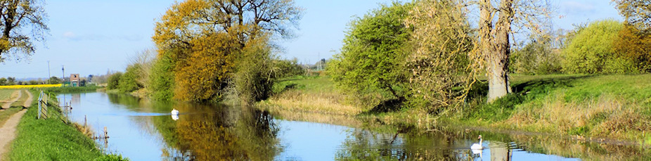
Eventually, this was deemed unworkable and it was decided instead that a defensive canal should be built, stretching from Seabrook in Kent through to East Sussex, the Royal Military Canal.
Second World War
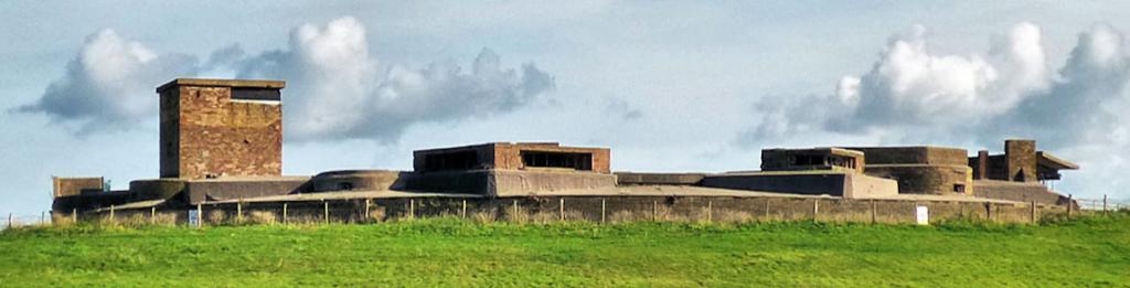
In the Second World War (1939-1945), the planned German invasion of Britain, Operation Sea Lion, would have involved the landing of troops and equipment somewhere on the coast. One of the most vulnerable areas was between Hastings and Folkestone and Pett Level in East Sussex was flooded as a precautionary measure.
As a last resort in the event of an emergency, the government made plans to flood a large part of Romney Marsh. This would be done by deliberately demolishing the dykes along the Royal Military Canal and letting in the sea water if the Germans invaded.


