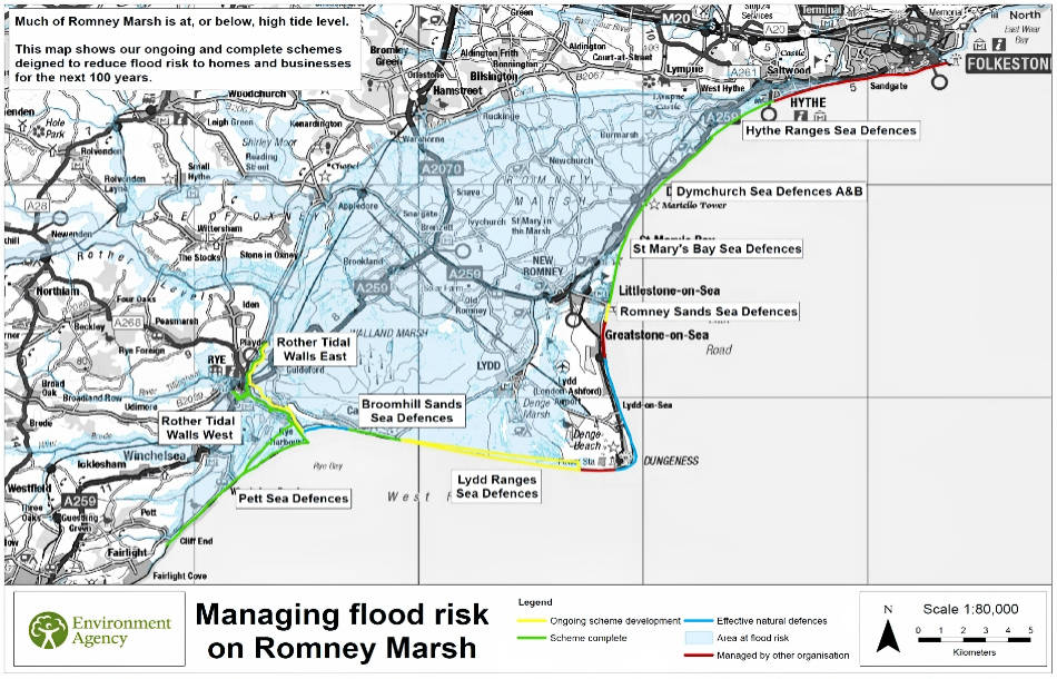


Flood Map
The map below shows the flood risk on Romney Marsh.
The Folkestone to Cliff End Strategy (FoCES) was approved by Defra in 2010. It sets out plans to manage flood and erosion risks along the Romney Marsh coastline over the next 100 years, taking the predicted impacts of climate change into account.
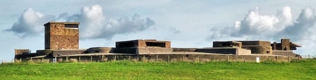
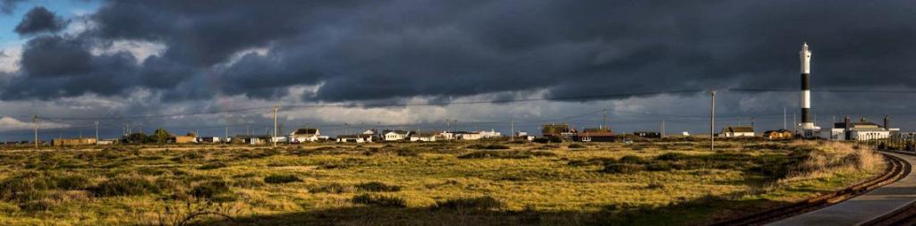
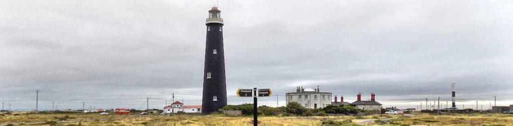
Much of Romney Marsh is below the present-day high tide level, and 14,500 homes, 700 businesses and nationally important, critical infrastructure are at risk of flooding.
The strategy identified how we can improve the existing defences to reduce flood risk to Romney Marsh to a 0.5% chance in any year.
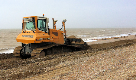
Moving shingle on the beaches of Romney Marsh
Several flood defence projects around Romney Marsh have already been completed at a value of £155 million (see map below).
These include new defences on the western bank of the tidal River Rother (2007), a new seawall and rock revetment at Dymchurch (2011) and a 0.7 kilometre groyne field with shingle and a 1.8 kilometre rock revetment and concrete wave wall at Broomhill Sands (2016).
The Hythe Ranges sea defences have now also been completed during winter 2020/21.
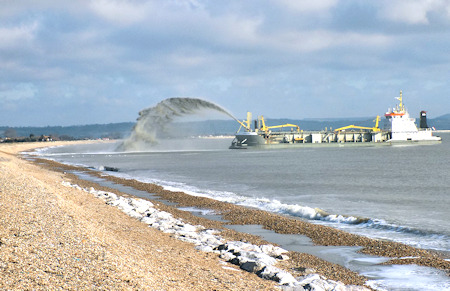
Replenishing the shingle sea defences at Litltlestone March 2016